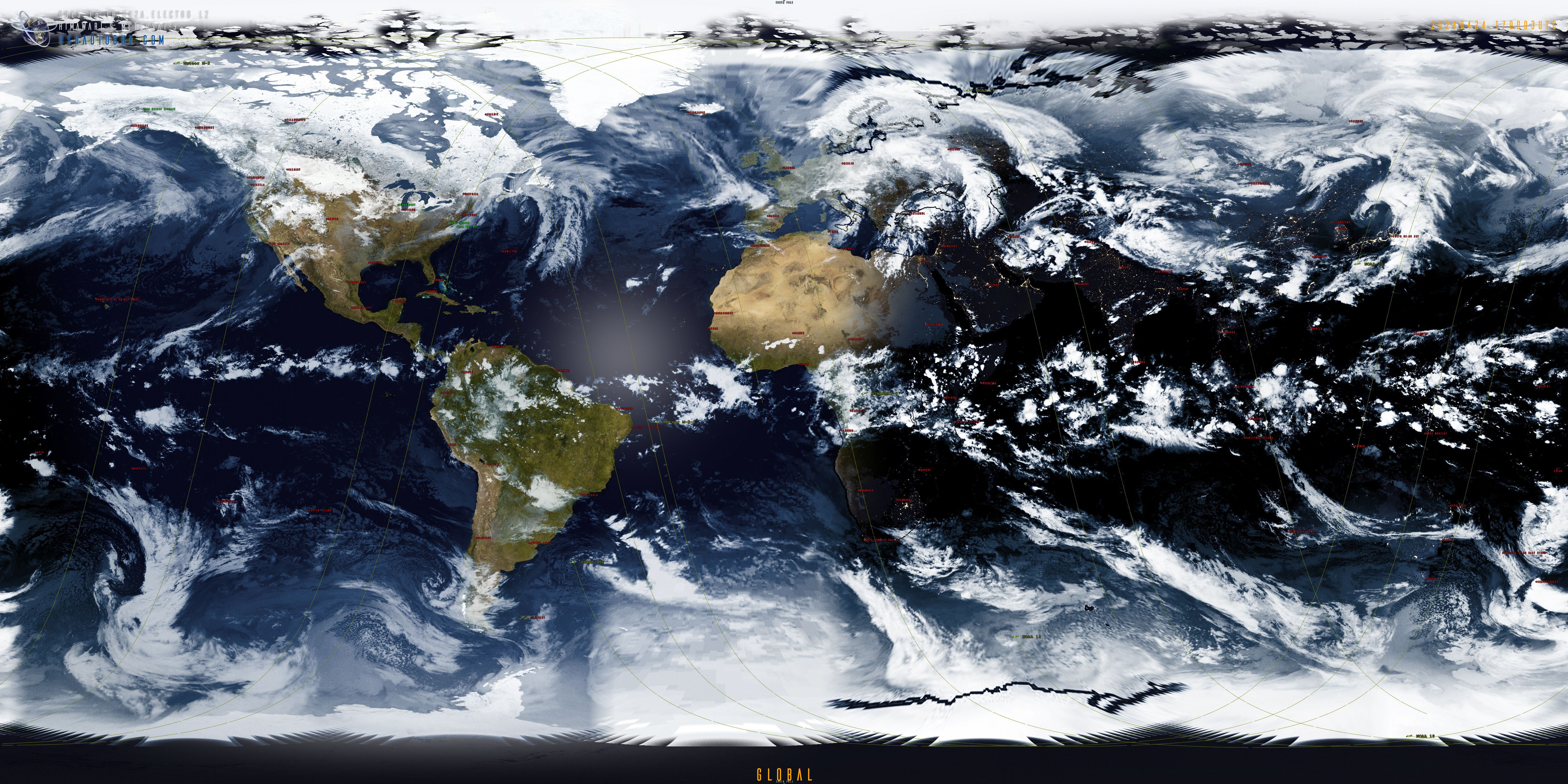
Daily Global Composites
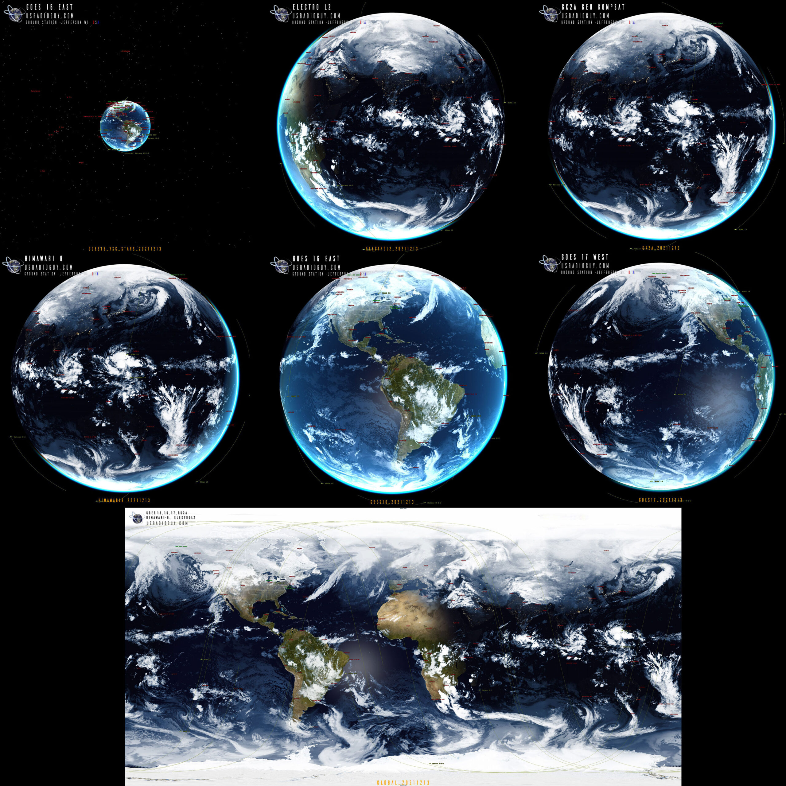
Global Composite from 7 Geo-Stationary Satellites
The imagery below is received and processed, autonomously, on my servers and uploaded to this site by my station twice daily. This is done, because, at any one time half the globe is in darkness. I have chosen to upload the imagery every day at 0900 UTC, 1800 UTC, and 1930 UTC for the Planet Wide Image. (This helps conserve bandwidth and storage)
The imagery is created with this method that I use https://usradioguy.com/custom-imagery-scripts-for-goes/#Rayleigh
NOTE: Since I am relying on imagery from other stations, there MAY be gaps in coverage which will be clearly apparent on the imagery.
Full Global Planet Wide Composite
Click the image to see full resolution:
The Imagery that I use comes from 7 separate Geo Stationary satellites:
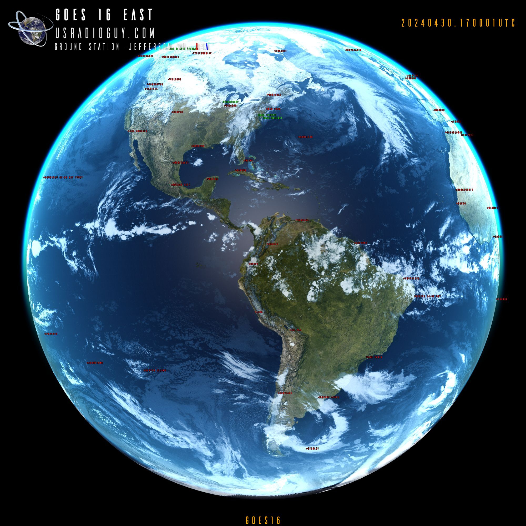
- GOES 16 Received by my station
- GOES 18 Received by my station
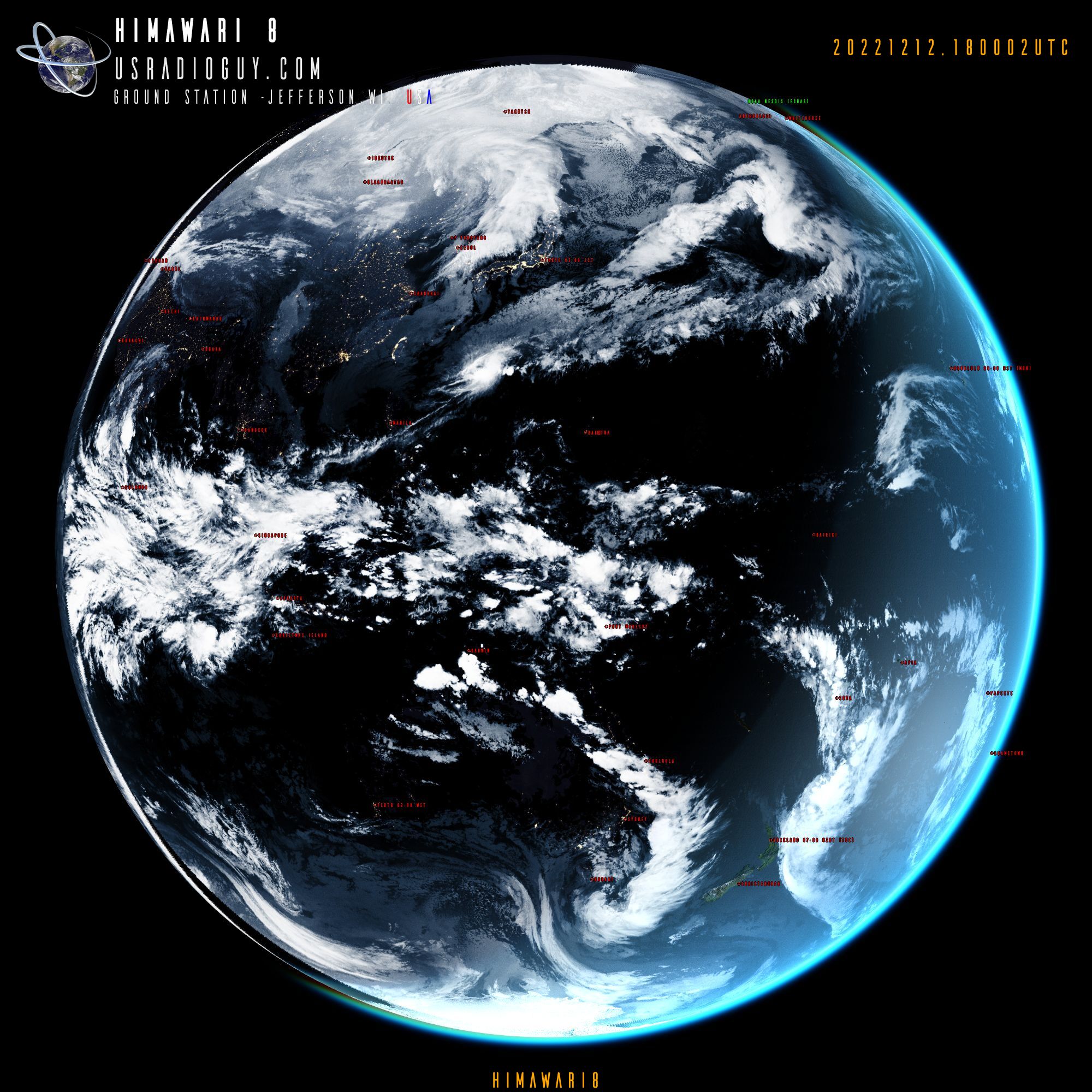
- Himawari 9 Received by my station
- GOES 15 (EWS-G2) is received by USSF
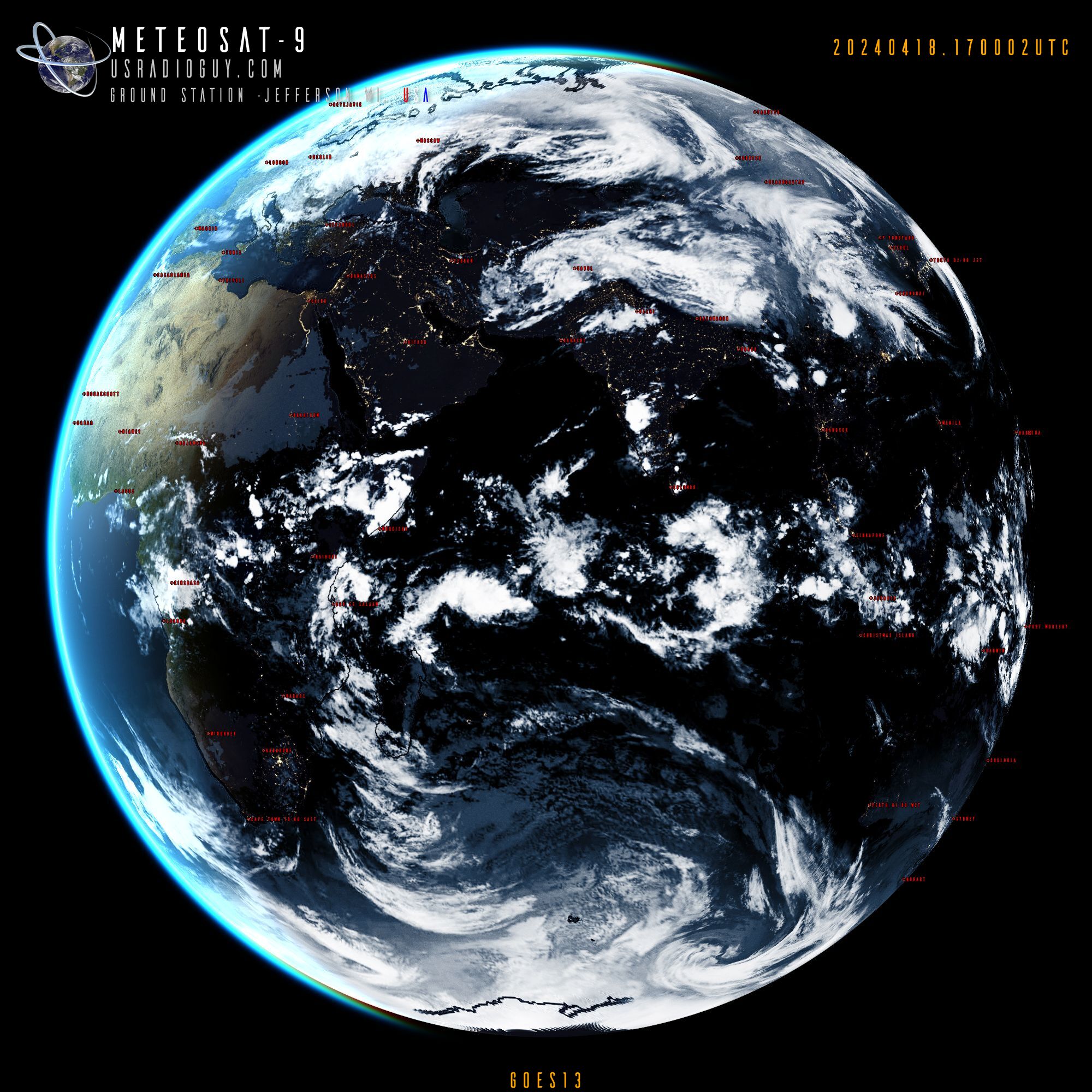
- METEOSAT-9 is received by the University of Twente
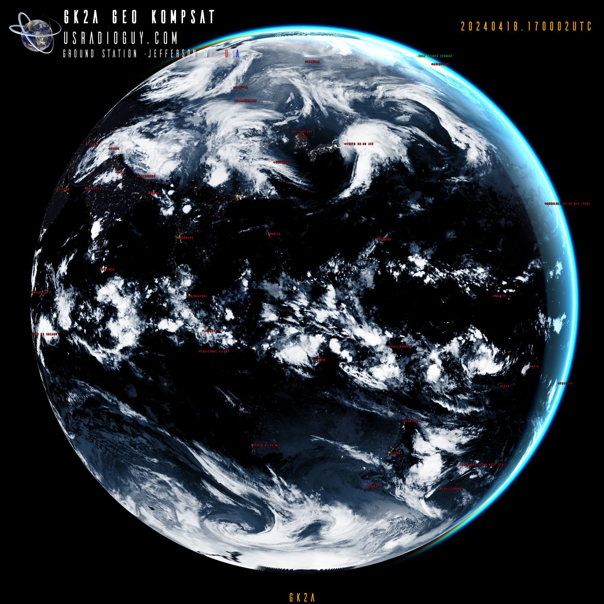
- GK2A is received by Cheon Gil Nam
- ElectroL2 is received by Роскосмос