End Of Life for NOAA 15,18,19?….not so fast…

Nothing lasts forever…. Update 09/27/2023 The AVHRR/3 sensor on board NOAA 15 has repeatedly seized, and no other attempts will be made to recover the instrument. However, the spacecraft itself remains healthy and other subsystems remain active. Therefore, there is no plan for decommissioning the spacecraft at this time. It is important to note that […]

Read More

GOES-U the 4th and Last of the GOES-R Series

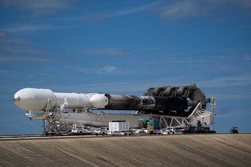
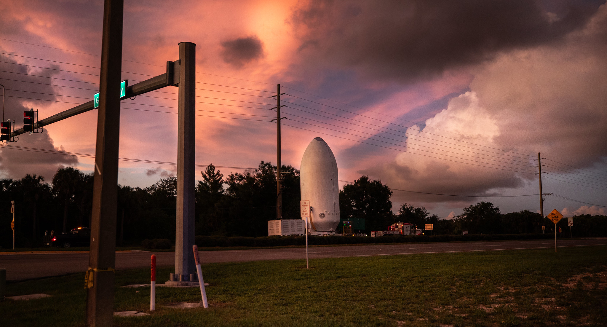
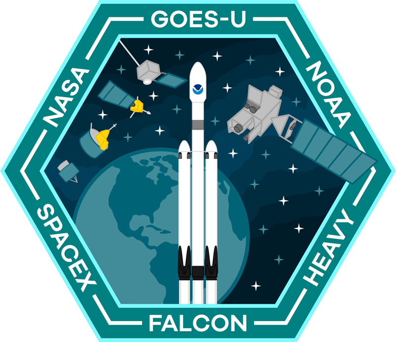
After eighteen years in the making and billions of dollars spent, a fourth and final weather satellite from the National Oceanic and Atmospheric Administrations, meant to protect the United States nears its final stage before launch. For the first time, GOES-U will be launched aboard a SPACE X Falcon Heavy. The total cost for NASA […]

Read More
SUVI imagery from GOES-16

Monitoring Space Weather

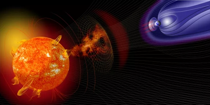
The Importance of Monitoring Space Weather The sun is a dynamic and active star, and its activity can significantly impact Earth. The sun’s atmosphere is made up of hot, ionized plasma, and the sun’s magnetic field is constantly changing. These changes can lead to the formation of solar storms, which are large eruptions of plasma […]

Read More

Geo Magnetic Storm 04.23.2023

On April 21, 2023, a coronal mass ejection (CME) occurred on the sun, resulting in the emission of a high-speed burst of plasma that traveled towards Earth at a velocity of approximately two million miles per hour. This event triggered a severe geomagnetic storm that attained level 4 out of 5 on NOAA’s space weather […]

Read More

The Kessler Syndrome

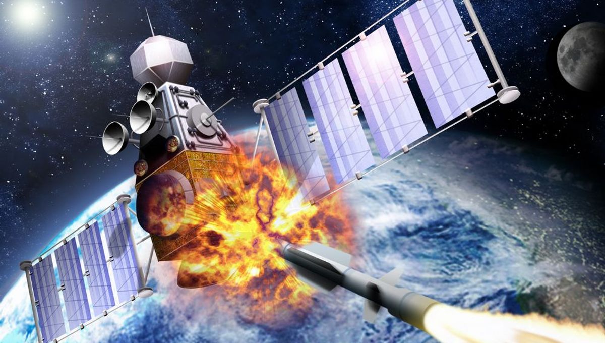
Updated April 14th, 2023 On 11 January 2007, China conducted an anti-satellite missile test. A China weather satellite—the FY-1C polar-orbiting satellite of the Fengyun series, at an altitude of 865 kilometers (537 mi), with a mass of 750 kilograms (1,650 lb) —was destroyed by a kinetic kill vehicle traveling at a speed of 8 km/s (18,000 mph) in the opposite direction. A Head-On Engagement attack like this has […]

Read More

Satellite imagery reprojection method

One of the fun parts of receiving satellite imagery is what you can do with the post-processing of the images. Map projections are mathematical models that allow us to represent a three-dimensional surface of the Earth on a two-dimensional map. There are many types of map projections, and each has its own set of advantages […]

Read More
The Seasons

The Seasons

The four seasons, namely spring, summer, fall, and winter, are part of the natural cycle of the Earth’s orbit around the sun. Each season is defined by a unique combination of astronomical and climatic factors, which affect weather patterns, animal behavior, plant growth, and human activities. The GOES-R Series satellites, operated by the National Oceanic […]

Read More

The altered life of GOES-3

GOES-3 weather satellite did not go gently into that goodnight…. For over 20 years, the South Pole relied on the GOES-3 weather satellite for communication links with the outside world. However, this satellite was decommissioned in 2016 after 38 years in operation. GOES-3 was launched in 1978 aboard a Delta 2914 carrier rocket, the satellite […]

Read More

Who are Satellite Data and Imaging Enthusiasts?

We’re like kids in a candy store, except the candy store is a never-ending galaxy of pixels and the candy is data and images of the Earth from space. They can tell you the exact location of any given spot on the planet just by looking at a grainy satellite image. They see patterns and […]

Read More
USRadioguy VLOG

USRadioguy VLOG

All right, people, buckle up ’cause I am about to enter the world of science and satellite reception vlogging, and let me tell ya, it’s out of this world. It’s like taking science and blasting it into the stratosphere with a giant space cannon. You’ve got these vloggers who are just killing it, explaining complex […]

Read More