Even the kitchen sink
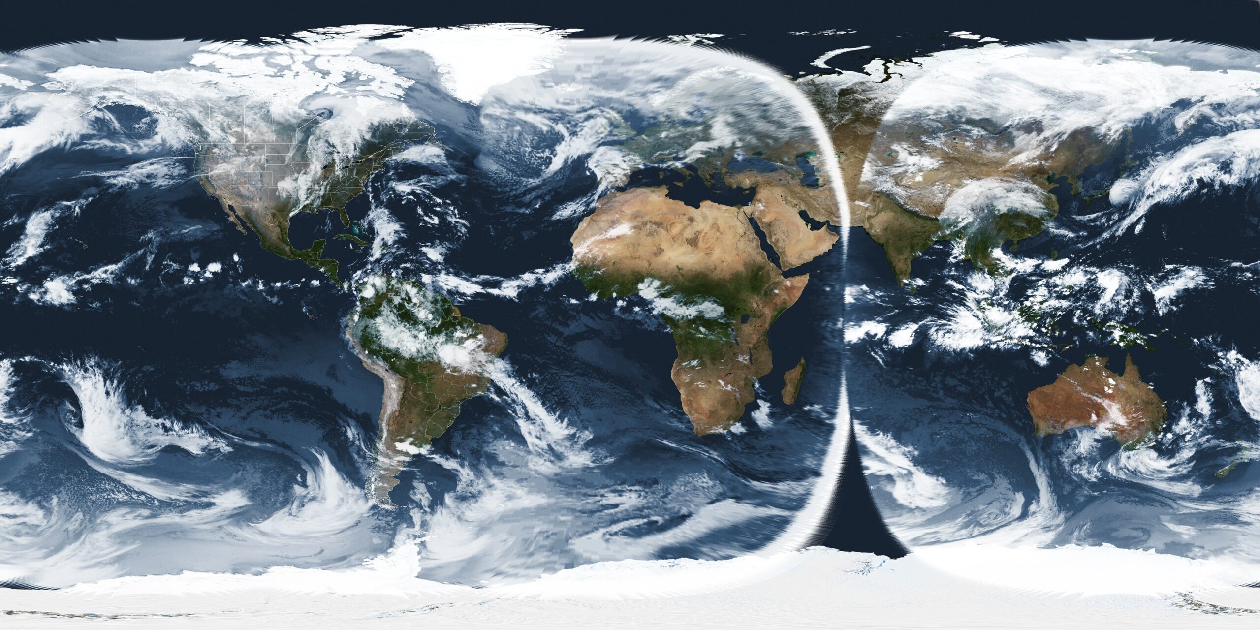
Post Processing of received imagery
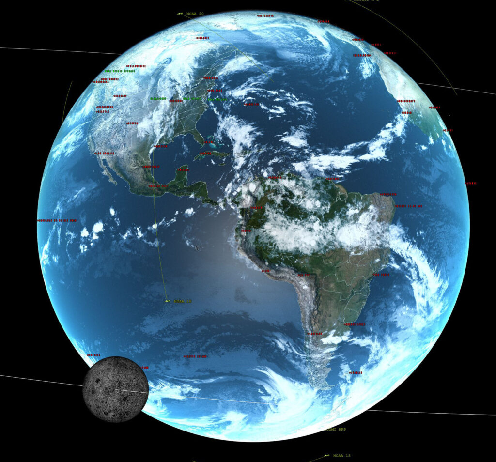
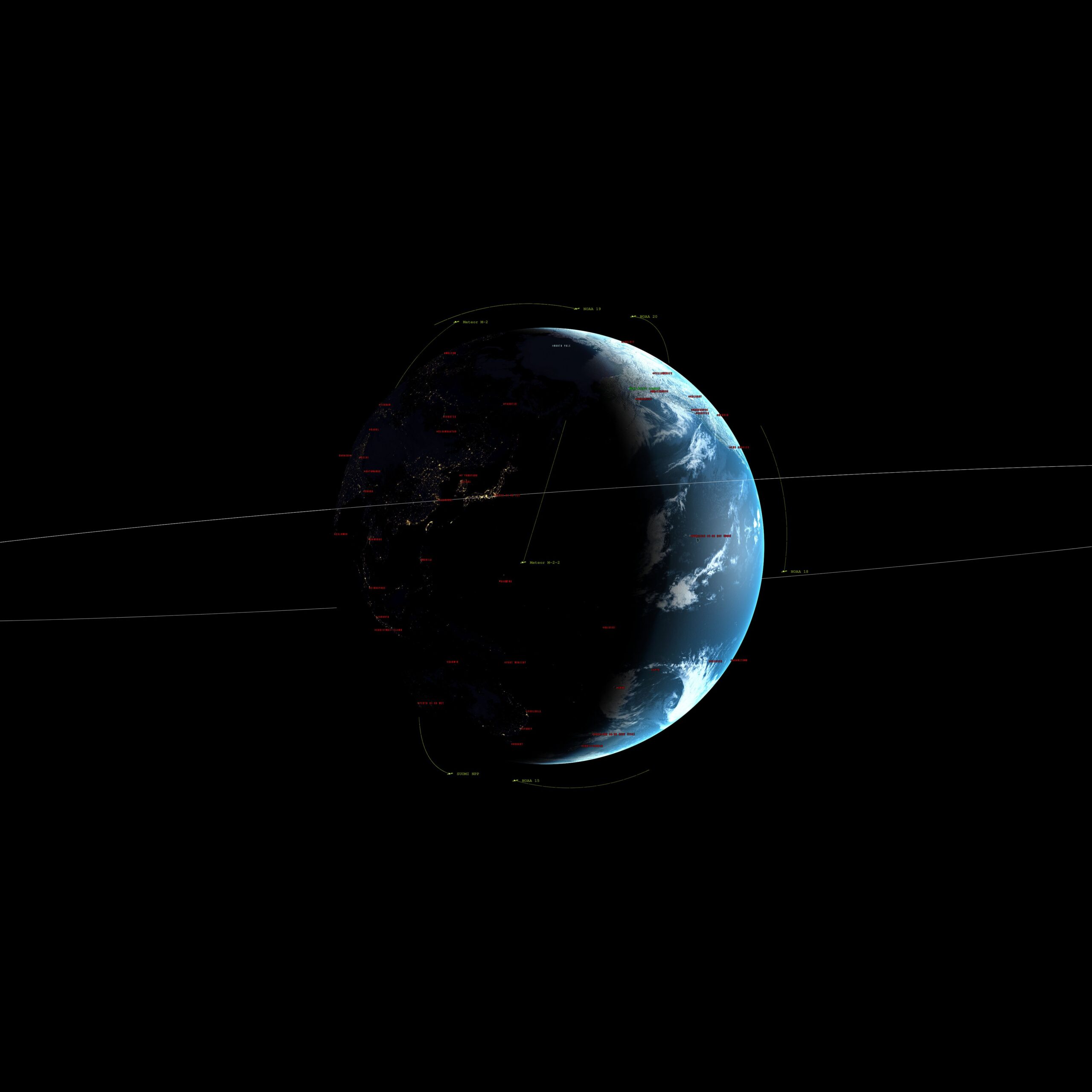
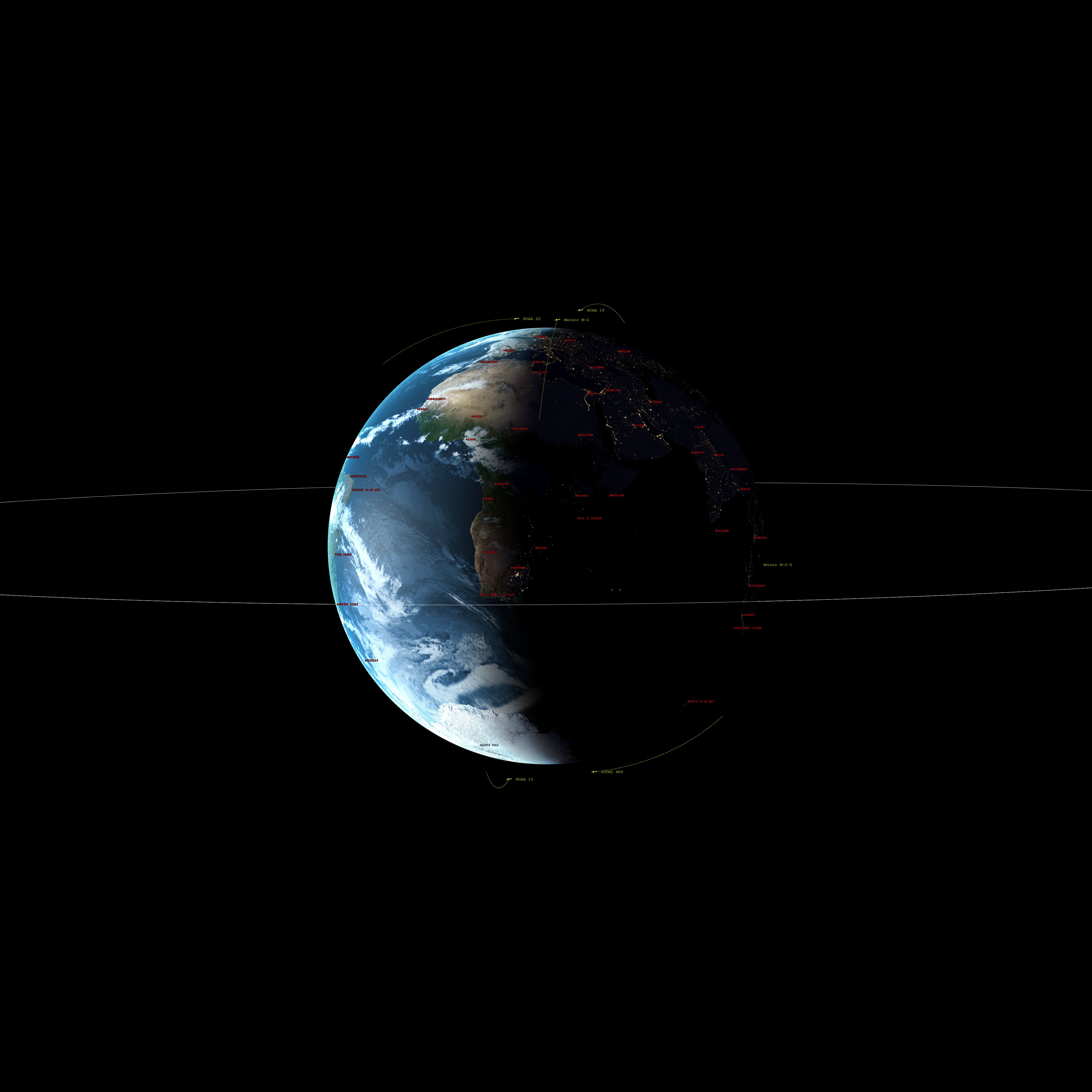
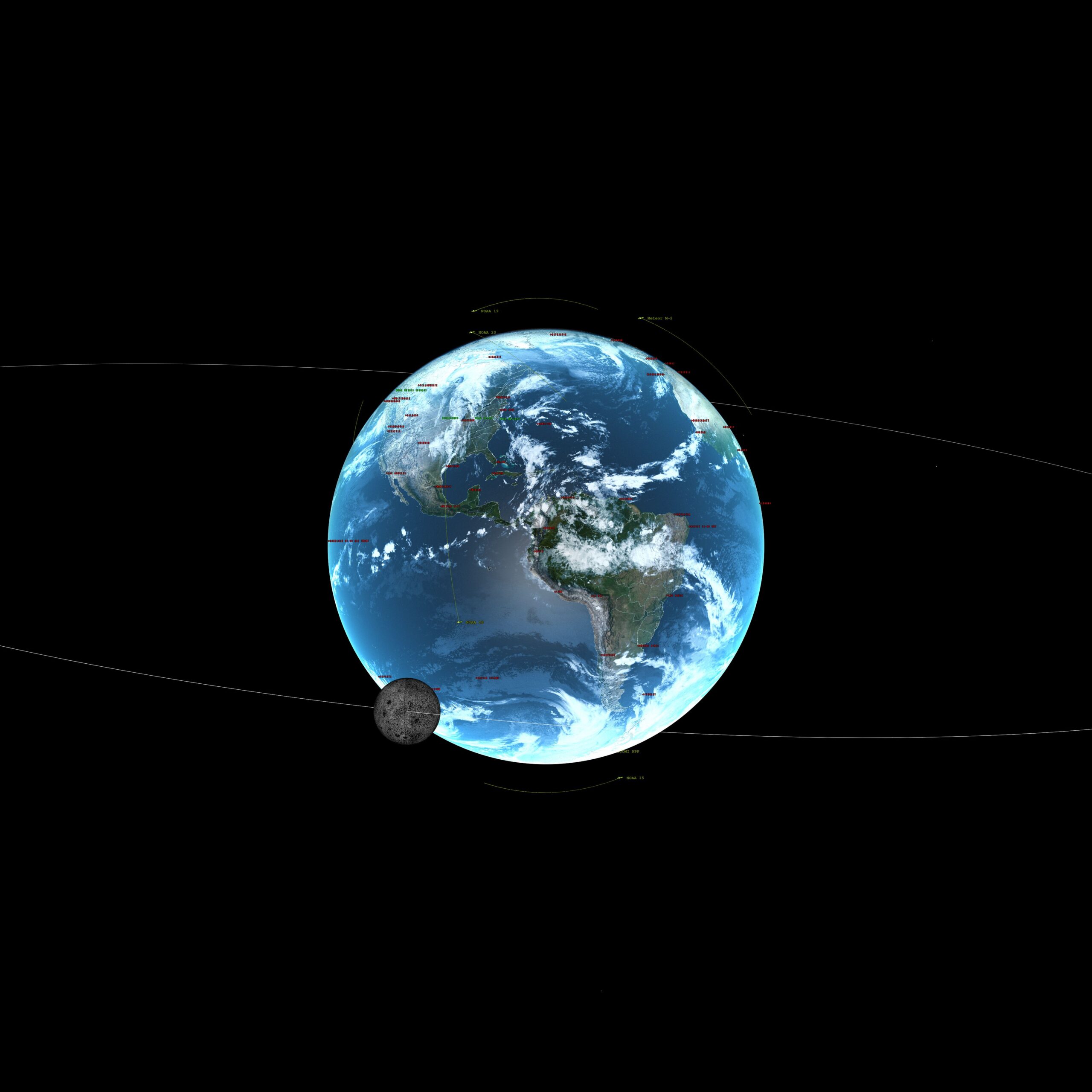
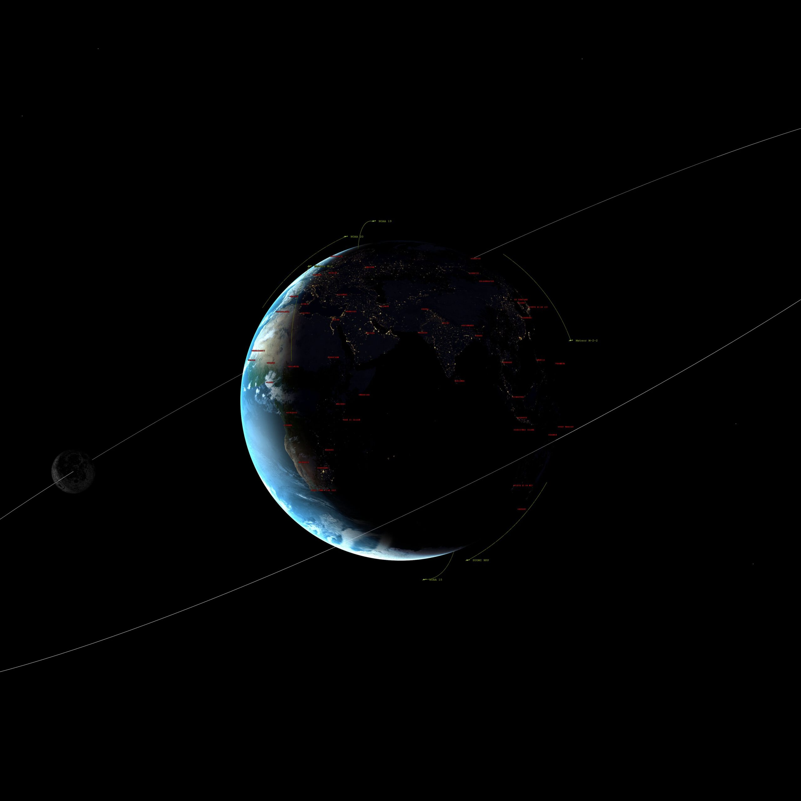
Tried something a bit experimental. As usual, in the middle of the night, I wake up with the idea, ” What if I add the moon to a composited global imagery?”
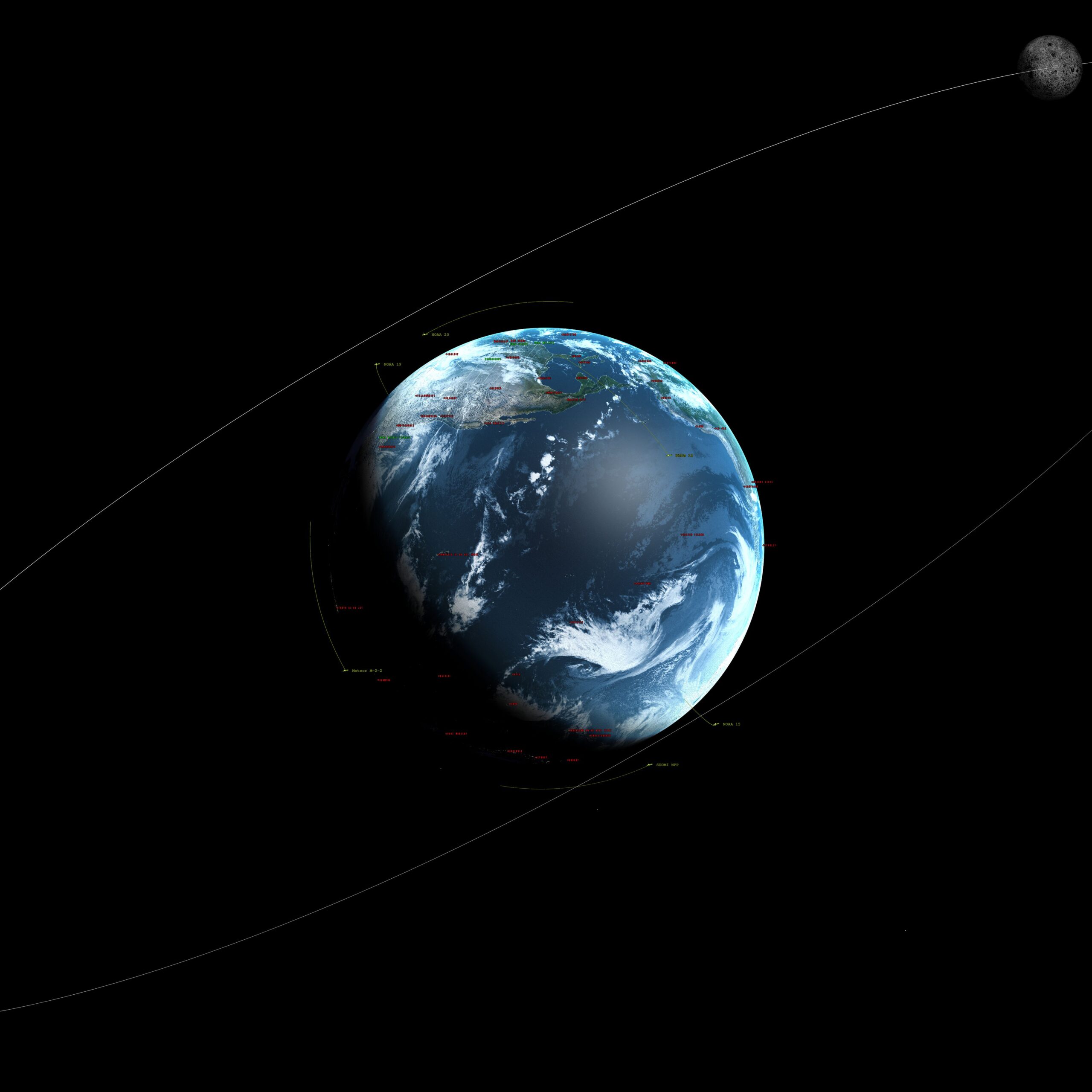
I computed the orbit of the moon in relation to the time/date (1700UTC) and plotted it (with the orbital line shown). I had to reduce the orbit scale to get it to show.
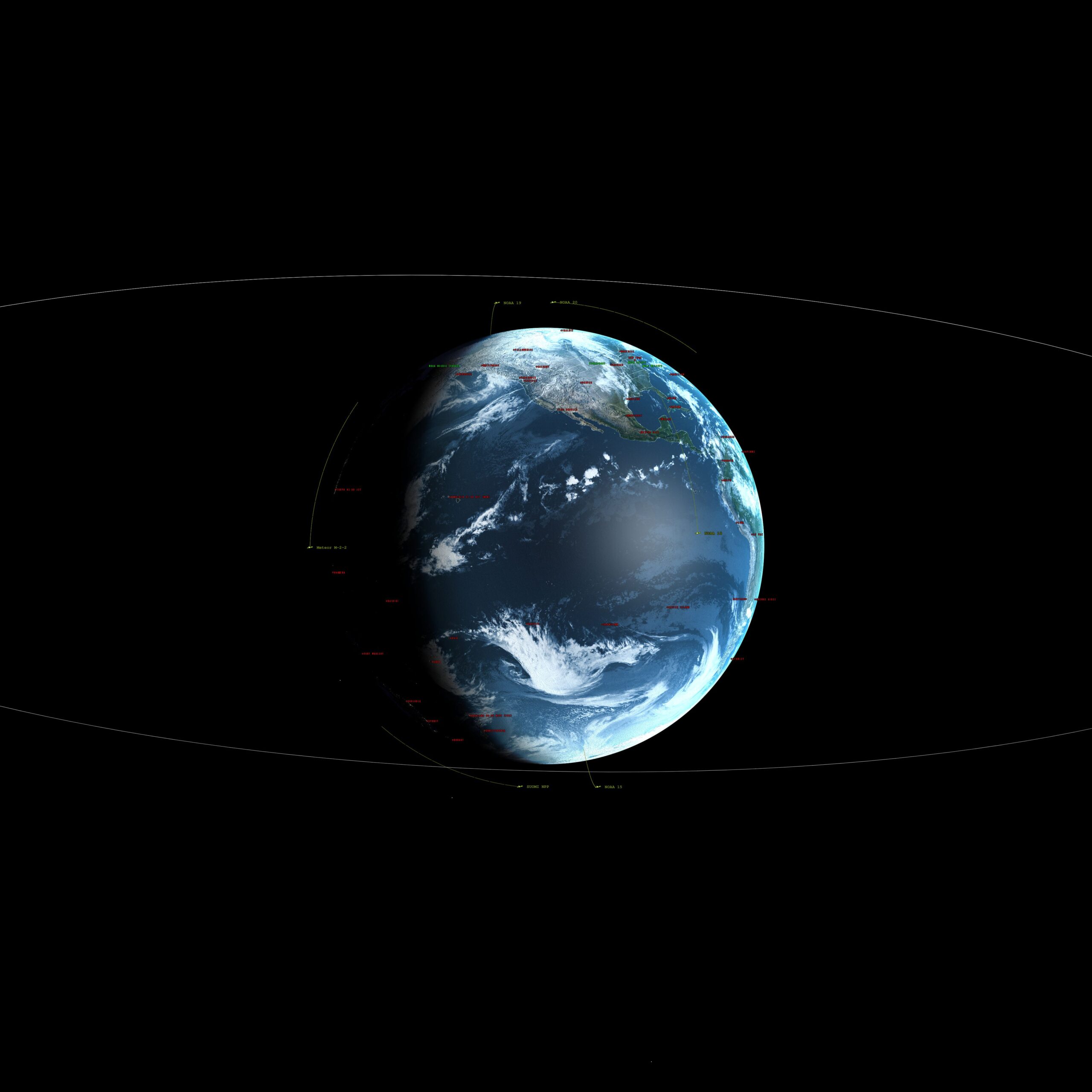
In addition, there are Polar Orbiting Satellites with orbits shown. There are several different longitudes and latitudes viewpoints depicted as well.
Software Used:
Sanchez https://github.com/nullpainter/sanchez
Xearth-Xplanet https://en.wikipedia.org/wiki/Xplanet
ImageMagick https://imagemagick.org/index.php
TIPSOD (from Nasa https://code.nasa.gov/) for orbital dynamics
Sats:
GOES-16,GOES-18, Himawari8, Elecktro L2, GK2A, (EWS-G1 not available)
Moon Imagery from NASA/JPL
Link to my custom imagery script page: Custom Imagery Scripting