Simon’s World Map

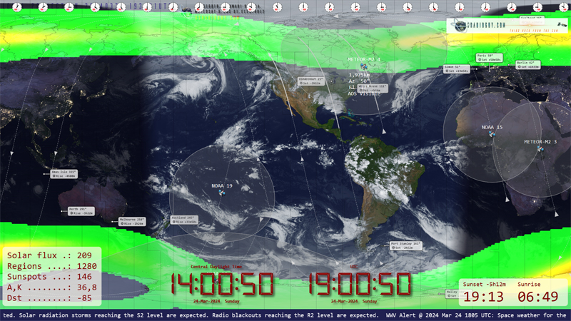
UPDATE: 03-24-2024 Simon has updated the map (Current: Version 1.4.0) ntroducing the ultimate world map for satellite enthusiasts: a powerful and user-friendly tool that goes way beyond just showing you the Earth! Have you ever wished your world map could do more? This software is a game-changer. It’s packed with features specifically designed for satellite […]

Read More

Goestools for Windows

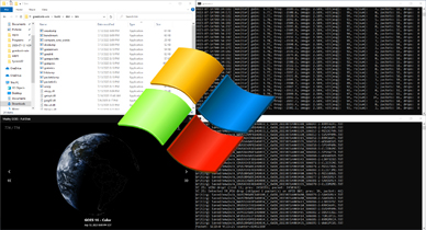
Goestools for Windows What’s in a name? -Wingoes perhaps? Great news for those who may be hesitant to take the plunge into LINUX or using a Raspberry PI or equivalent SBC, Jamie Vital, who has written some very cool software for satellite imagery display, has ported the goestools software written by Pieter Nordhuis to run […]

Read More

Satellite imagery reprojection method

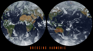
One of the fun parts of receiving satellite imagery is what you can do with the post-processing of the images. Map projections are mathematical models that allow us to represent a three-dimensional surface of the Earth on a two-dimensional map. There are many types of map projections, and each has its own set of advantages […]

Read More

Online Dish Pointer

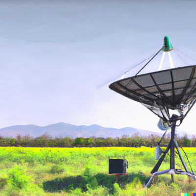
NEW Dish Pointer for Geostationary Satellites. I created a Satellite Dish Pointer page over the weekend, added in all 539 current geostationary satellites, and added a map to find your location and then automatically calculate the Longitude, Azimuth,(true north), Azimuth (magnetic north), Elevation, and Skew angles for both 0° and 90° degree style dishes. Magnetic Declination tables […]

Read More
Satellite Orbiting Earth

Himawari-8 to Himawari-9 Transition

The Japan Meteorological Agency (JMA) will switch operations from Himawari-8 to Himawari-9 on 13 December at 05:00 UTC Himawari 9 has been in space in on-orbit storage since 2016, Happily waiting for its chance to become the primary Satellite, taking over from Himawari-8. Same tech, identical satellites, same AHI sensors, etc. Now is the time […]

Read More