![]()
A Brief History

WXtoIMG was a pioneering and widely beloved software for decoding Automatic Picture Transmission (APT) signals from NOAA (National Oceanic and Atmospheric Administration) polar-orbiting weather satellites, as well as WEFAX transmissions from geostationary satellites. Developed by Craig Anderson from Auckland, New Zealand in 2000, and distributed via the Abstract Technologies website, WXtoIMG emerged as a game-changer for weather enthusiasts, amateur radio operators, and educational institutions worldwide.
Before WXtoIMG, receiving and interpreting weather satellite images often required expensive, specialized hardware decoders. WXtoIMG democratized this hobby by leveraging the capabilities of standard personal computer sound cards. By simply connecting a 137-138MHz FM receiver or scanner to a sound card, users could capture raw audio signals from satellites and transform them into stunning visual weather maps.
The software was renowned for its extensive features, including:
- Real-time decoding: Displaying images as they were received.
- Advanced image enhancements: Such as Multi Spectral Analysis (MSA), HVCT, and MCIR, which produced vivid, often false-color, images highlighting cloud formations, land, sea, and even temperature data.
- Map overlays: Superimposing geographical boundaries, cities, and latitude/longitude grids onto the satellite images.
- 3D images and animations: Creating dynamic visual representations of weather patterns.
- Automated web page creation: Allowing users to easily share their captured images online.
- Keplerian element (TLE) updates: Essential for accurate satellite tracking and prediction.
- Cross-platform compatibility: Running on Windows, Linux, and Mac OS X, making it accessible to a broad audience.
When WXtoIMG first came out on the software scene, it cost Standard Edition (US$58.95, EUR 49.95) or Professional Edition (US$94.95, EUR 80.95), which came with a pair of red and blue glasses for viewing the 3D (anaglyph) images showing cloud layers! It was created to run on Windows 95/98/Me/2000/NT/XP, Linux, FreeBSD with Linux compatibility installed, or MacOS X 10.1
WXtoIMG’s ability to produce high-quality images from relatively low-cost setups made it the de facto standard for many years, fostering a vibrant community of satellite imaging enthusiasts. Its user-friendly interface and powerful processing capabilities allowed hobbyists to gain insights into local and global weather phenomena directly from space.
An Obituary: The Sun Sets on WXtoIMG

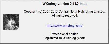
Sadly, the active development and official support for WXtoIMG ceased around 2017, when its original website was abandoned. The last stable release was version 2.10.11, with a final beta release being 2.11.2. This marked the beginning of WXtoIMG’s slow decline into obsolescence, though its legacy continues to inspire and its “restored” versions are still downloaded thousands of times a month.
The reasons for its eventual “demise” are multifaceted:
- Abandonware Status: Without active development, the software could not keep pace with changes in operating systems, external data sources, and modern computing environments.
- Outdated Libraries and Vulnerabilities: WXtoIMG relies on older libraries (e.g., Visual C++ 2002 with .NET), which can pose security risks and compatibility issues with contemporary operating systems. Some known vulnerabilities in these older components make continued use a concern for some users.
- Broken TLE Updates: A critical blow came when Celestrak, the primary source for satellite orbital data (Keplerian elements), changed its domain from
.comto.org. WXtoIMG’s hardcoded URLs and outdated networking libraries prevented its built-in TLE update function from working, requiring users to implement manual workarounds, proxy servers, or external tools to keep the satellite tracking data current. - Operating System Incompatibilities:
- macOS: WXtoIMG, being a 32-bit application, ceased to run on macOS 10.15 Catalina and newer versions, which dropped support for 32-bit applications.
- Windows: It uses an outdated Win32 API for audio access, which can be unreliable on Windows 11 and is slated for removal by Microsoft. It is also sensitive to concurrent CPU usage, leading to “tears” in images on modern multi-tasking systems.
- Linux: Its reliance on ALSA directly, rather than modern audio servers like PulseAudio, means live recording often doesn’t work out of the box on many current Linux distributions.
- Lack of Modern Features and Bug Fixes: Beyond TLE updates, other bugs persisted, such as map overlay issues, crashes during memory scans by antivirus software, and the inability to natively process WAV files from modern SDR software without resampling. Calibration coefficients for newer satellites also remained unupdated.
- Decommissioning of Primary Data Sources: A significant factor contributing to WXtoIMG’s diminishing relevance is the retirement of the very satellites it was designed to decode.
- NOAA-15 (NOAA-K): Launched on May 13, 1998, NOAA-15 was a cornerstone of the POES constellation, providing crucial data for weather forecasting and search and rescue. After an impressive 27 years, it is scheduled for decommissioning on August 12, 2025, due to extensive subsystem and instrument degradation.
- NOAA-18 (NOAA-N): Launched on May 20, 2005, NOAA-18 further enhanced global weather monitoring. It was decommissioned on June 6, 2025, at 17:40 UTC, following an unrecoverable failure of its S-Band transmitter, which compromised its operational capabilities.
- NOAA-19 (NOAA-N Prime): The final satellite in the legacy POES series, launched on February 6, 2009, NOAA-19 is slated for decommissioning on August 19, 2025. Despite over 16 years of service, it is entering its “twilight phase” with an increasing likelihood of critical failures.
The decommissioning of these long-serving NOAA satellites marks the end of an era for the Automatic Picture Transmission (APT) signals that WXtoIMG was built to interpret. While their direct operational use will cease, NOAA continues to responsibly manage these orbital assets. The baton has largely passed to more technologically advanced constellations like JPSS (Joint Polar Satellite System), which utilize different transmission methods and require modern decoding solutions. This shift further underscores why WXtoIMG, despite its historical importance, is no longer the primary tool for contemporary weather satellite image reception.
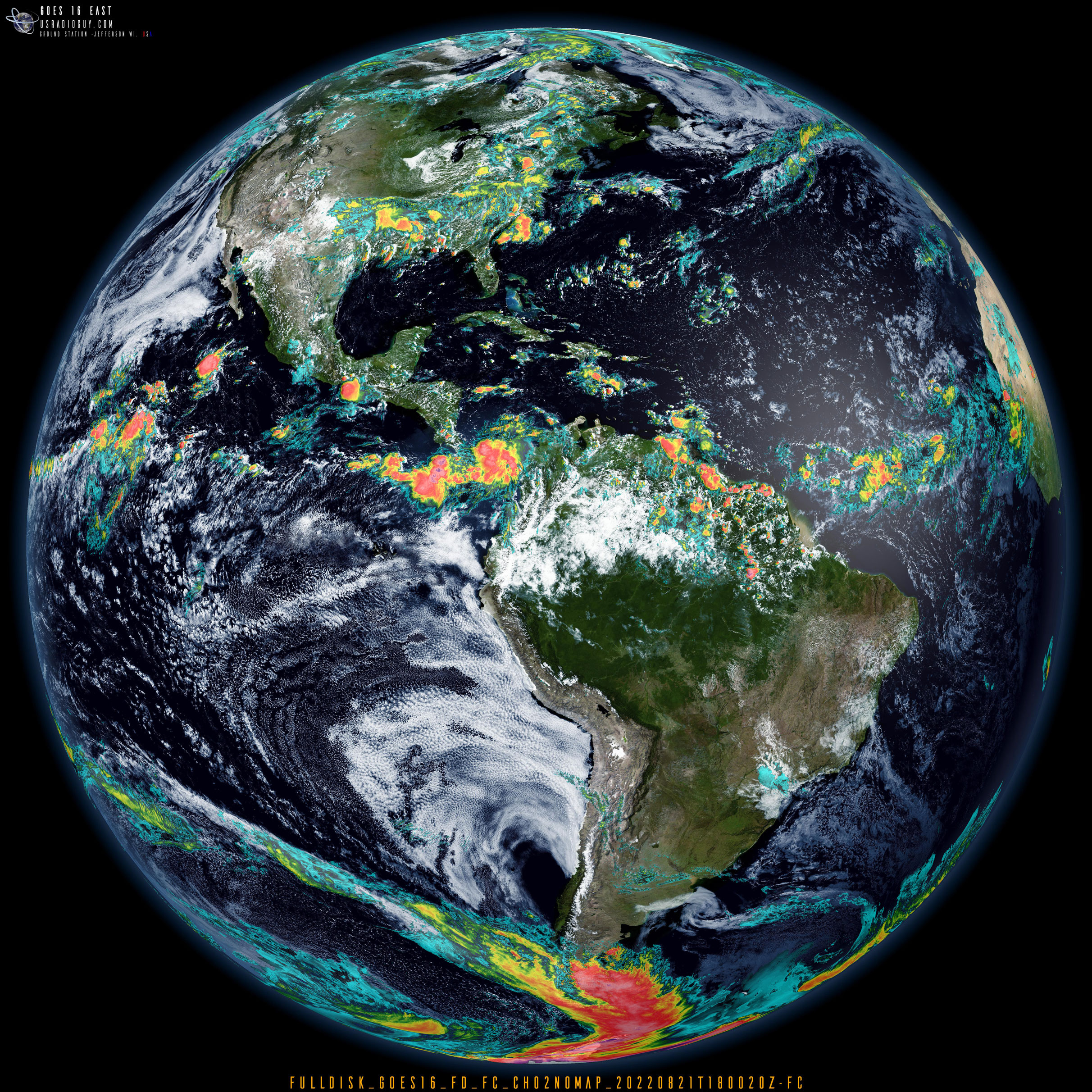
While community efforts, such as “USRadioguy”, “WXtoIMG Restored” websites, user groups, and various scripts, have attempted to keep the software alive by providing installers, TLE update fixes, and workarounds, these are often temporary solutions that highlight the software’s inherent limitations.
In Memoriam
WXtoIMG served its community with distinction for many years, enabling countless individuals to explore the fascinating world of weather satellite imagery. It lowered the barrier to entry for a specialized hobby, fostering innovation and learning. Though its time as the dominant software has passed, replaced by more modern and actively developed alternatives like SatDump, NOAA-APT, and SDRangel, WXtoIMG’s legacy as a foundational tool in amateur satellite reception remains indelible. It will be remembered as a testament to what dedicated software development can achieve in empowering a passionate community.


