Skip to content
USRADIOGUY

USRadioguy.com

Welcome to USRadioguy.com – Unlocking the Potential of Software Defined Radio

  • Home
    • Home of USRadioguy
    • Tried and Tested Hardware
    • USRadioguy Newsletter
    • What is RTL-SDR?
    • Global Weather Data
  • Satellite Reception
    • Geo Stationary Satellites
      • Geo-stationary Satellite Imagery Reception
      • GOESTOOLS on the PI
      • Update Goestools for GOES 18,19
      • Receiving GOES with SatDump CLI Mode
      • GOES receiving in Windows for SatDump GUI
      • Decoding EWS-G1/EWS-G2
      • GOES GRB Reception WIP
      • Optimizing a WIFI Grid Antenna for Maximum Efficiency
    • APT Satellites
      • APT RECEPTION
      • Satdump for Meteor and NOAA decoding
      • METEOR M2- Series
      • WxtoImg Fix
      • Converting to new TLE format
      • Layering Fire and Hotspot Data on Meteor Sat Imagery
      • HRPT Satellite Tracking and Capture
    • Receiving Other Satellites
      • Inmarsat Decoding
      • Receiving the Funcube Amateur Satellite
    • User Maps and Dish Pointers
      • Satellite Dish Pointer
      • User Global Ground Station Maps
      • Usermap rendered with Cesium
      • Global Map of Govt Dish Stations
    • Satellite Details & Information
      • ORBITAL DYNAMICS 101
      • HRIT/EMWIN & GRB Defined
      • Mesoscale Imagery Defined
      • Viterbi, R/S Errors, Packets
      • GOES BAND IMAGERY
      • Stray Light Zone (SLZ)
      • Drifting a geostationary satellite
      • GOES-R Series Multimedia Tour
      • Online Satellite Imagery and Information
      • Satellite Frequencies
      • Solar and Space Weather
  • Satellite Imagery
    • IMAGERY- Current GOES East & West HRIT Satellite Imagery
    • IMAGERY- GOES 16&18 – Past 96 Hours of Imagery
    • High Resolution Imagery
    • Daily 3D view of Earth
    • PlanetMaker
    • GOES16 A full year of received imagery
  • Imagery Processing
    • Custom Color Lookup Table & Gradients
    • GOES-R Custom Imagery Scripts
    • Global geo-ring composites
    • MODIS VIIRS Global Coverage
    • 3D Satellite Tracking
    • The quest for True Color Imagery
    • 3D animation of realtime data
    • Layering Geo-Spatial Fire Data into Satellite Imagery
    • Orbital dynamics and the Moon
    • National Hurricane Data
  • News, VLOGS & BLOGS
    • News & USRadioguy Blogs
    • USRadioguy VLOGS
  • Project Lab
    • Orbital Information and Visualizations
      • Enhanced Planet Earth
      • Satellites in Orbit
      • Solar System
      • Objects in Orbit
    • Current Station Weather
      • Current Groundstation Weather
      • Global Weather Data
      • Space Weather
    • WWII RADIO
      • WWII K-24 Aerial Camera
      • WWII RADIO
      • RADIO SET SCR-284
      • VS-3 VIBRATOR CONVERSION
      • VIBRATOR CONVERSION MODULE
      • BD-71 Field Switch Board and EE-8B Field Telephones
      • R-100/URR 1944 MORALE RADIO
      • A PORTABLE WWII ERA “MORALE RADIO”
      • AN/GRR-5 THE ANGRY 5
      • WWII Audio Page
    • Raspberry Pi Projects
      • ADS-B Reception
      • Allsky Camera
      • Pi Based Picture Frame
      • PI Based Broadcastify Server
      • Solar Power for PI
    • Your very Own Weather Satellite
    • Hubble Space Telescope Data Processing
    • Zombie Satellites
    • DRONES
  • About Me
    • About Usradioguy
      • SETEC Astronomy
    • Tried and Tested Hardware
    • Rare Captures
    • My Other Interests
    • Presentations
    • Merchandise
    • Privacy Policy
  • Home
  • Usradioguy Blogs
  • Satellites
  • Page 3

Category: Satellites

GOES-U Launch Day

Posted on June 25, 2024July 10, 2024 By Carl
GOES-U Launch Day
Launch News, News, Satellites, Science

Loading

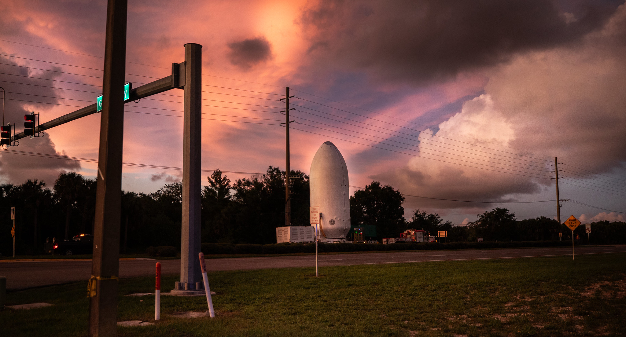
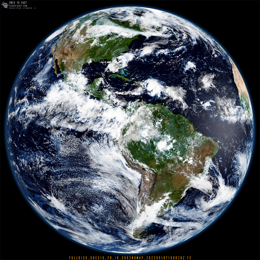
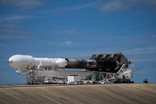
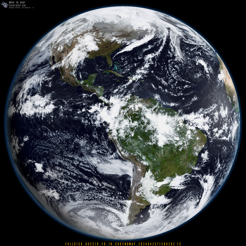
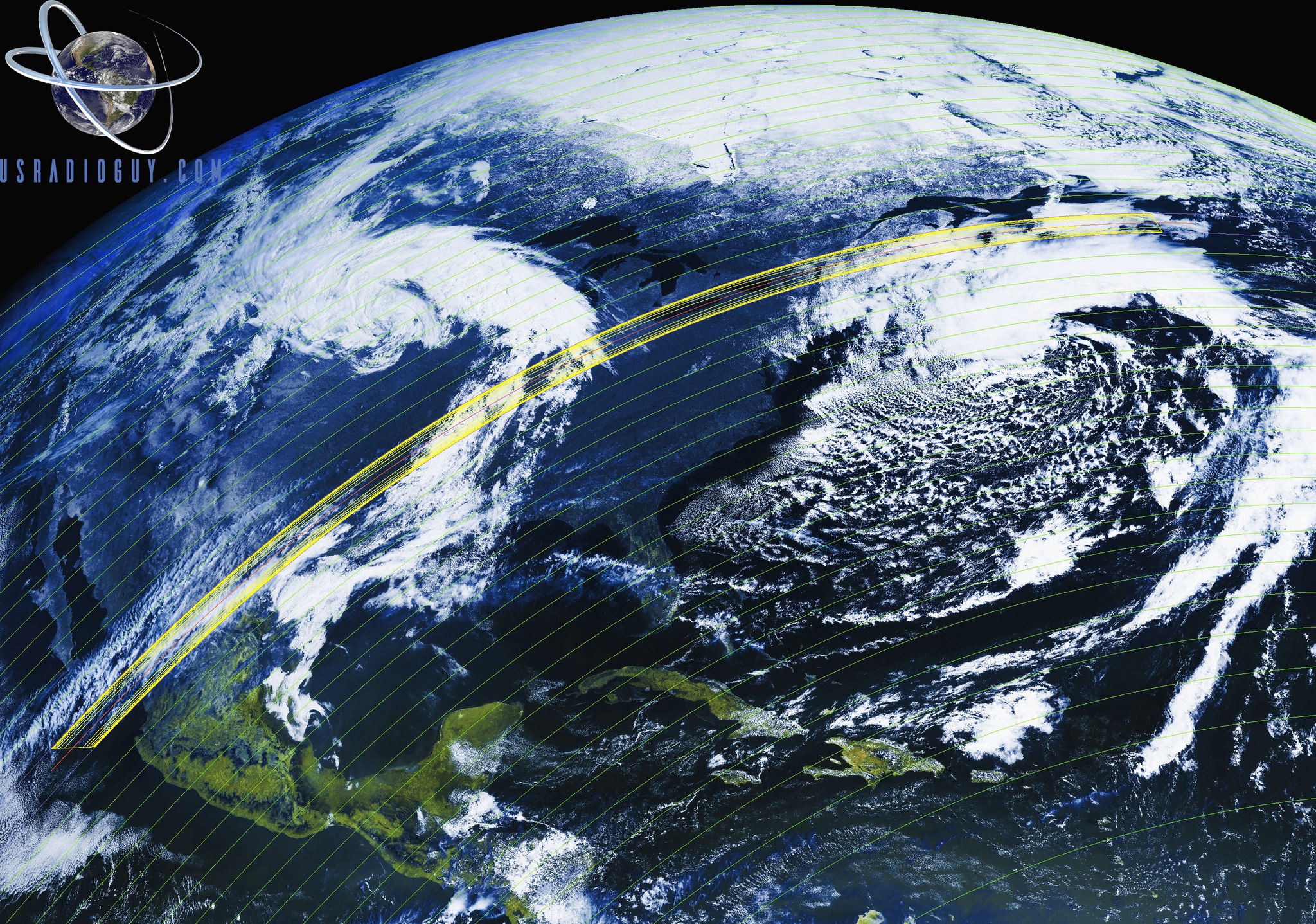
GOES-U Launch from Liftoff to Booster touchdown GOES U Separation from Booster into Geo Transfer Orbit. NOAA’s latest weather satellite, GOES-U, blasted off on a SpaceX Falcon Heavy rocket Tuesday, June 25th at 17:16 EST from Kennedy Space Center in Florida. The powerful launch marks a new era for weather forecasting and space weather monitoring. … Delve Deeper “GOES-U Launch Day” »

GOES-U Launch Preparations

Posted on June 24, 2024June 24, 2024 By Carl
GOES-U Launch Preparations
Satellites, Science

Loading

GOES-U Prepares for Launch: Nears Completion of Critical Milestones and Arrives at SpaceX Hanger- Ready for Roll Out Live view of Pad 39A After completing several key steps, the Geostationary Operational Environmental Satellite U (GOES-U) is on track for launch. The satellite, built for the National Oceanic and Atmospheric Administration (NOAA), will liftoff aboard a … Delve Deeper “GOES-U Launch Preparations” »

What will the neighbors think?

Posted on June 18, 2024October 6, 2024 By Carl 14 Comments on What will the neighbors think?
What will the neighbors think?
Life, Satellites, Software

Loading

Authors note: This is a rewrite of the original blog post I wrote in 2020, and there have been a lot of changes since then. And I have had A LOT of conversations on forums, emails, and groups about satellite reception. I have given talks and presentations to Universities, NOAA, HAM Radio Clubs, Meteorological groups, … Delve Deeper “What will the neighbors think?” »

False Color Imagery

Posted on June 9, 2024July 10, 2024 By Carl
False Color Imagery
Imagery Processing, Interesting stuff you should know!, Satellites, Science, Software

Loading

Spectral Imagery and False Colorization of Geostationary Satellite Data Updated June 9th 2024 Geostationary satellites like GOES, Himawari, Meteosat, FENGYUN, and Elektro primarily acquire imagery in various infrared (IR) bands along the electromagnetic spectrum. While some possess limited visible band capabilities (typically blue and red), these are often desaturated and not used for generating true-color … Delve Deeper “False Color Imagery” »

GOES-U to Launch in June

Posted on June 8, 2024July 10, 2024 By Carl
GOES-U to Launch in June
Launch News, News, Satellites, Science

Loading

GOES-U Launch Date and Time – NASA and SpaceX are gearing up for a critical launch on Tuesday, June 25th. Their two-hour target window opens at 5:16 p.m. EDT UPDATE: June 18th 2024 GOES-U Prepares for Launch: Media Gets a Close Look On June 6th, NASA facilitated a media viewing of the National Oceanic and Atmospheric … Delve Deeper “GOES-U to Launch in June” »

NOAA and NASA to Brief Public on GOES-U Launch

Posted on May 23, 2024July 10, 2024 By Carl
NOAA and NASA to Brief Public on GOES-U Launch
Hardware, Launch News, News, Satellites, Science

Heads Up! NOAA and NASA to Brief Public on GOES-U Launch Calling all space enthusiasts and weather satellite watchers! There’s a virtual briefing happening on May 29th, 2024 at 11:00 am ET hosted by NOAA and NASA. The topic? The upcoming launch of GOES-U, the final satellite in the GOES-R series! Experts from NOAA, NASA, … Delve Deeper “NOAA and NASA to Brief Public on GOES-U Launch” »

Argh-who took a chunk out of my image?

Posted on May 5, 2024February 22, 2025 By Carl
Imagery Processing, Interesting stuff you should know!, Satellites, Science

Loading

Argh-who took a chunk out of my image? Updated 01.14.2025 If you are seeing strange images around 05:00 -09:30 UTC Depending on orbital position and satellite, like the ones below, don’t immediately run to check all your settings and connections!! It can happen around satellite local midnight time, and the ABI would see a direct … Delve Deeper “Argh-who took a chunk out of my image?” »

Satellite Processing-Science vs Art:

Posted on April 25, 2024July 10, 2024 By Carl
Satellite Processing-Science vs Art:
Imagery Processing, Satellites, Science, Software

Loading

The Science and Art of post-processing satellite imagery. By Carl G. Reinemann, USRadioguy.com At the most recent NOAA user group meeting, after I had finished my presentation, I had a couple of questions regarding my last slide, which was a full disk image of planet Earth, derived from the GOES-16 satellite and then, using bands … Delve Deeper “Satellite Processing-Science vs Art:” »

Highschool GOES project

Posted on April 16, 2024July 10, 2024 By Carl
Highschool GOES project
Hardware, Satellites, Science

Loading

A DIY GOES Parabolic Antenna (Rest in Pieces) This blog post chronicles a unique project undertaken for a recent manufacturing final by -MrNutter- Gabriel Nutter (gabenutter at gmail.com): building a parabolic antenna specifically designed to receive GOES weather satellite data. The creator, with no prior experience in this field, embraced a creative approach. While the … Delve Deeper “Highschool GOES project” »

ECLIPSE 2024

Posted on April 7, 2024July 10, 2024 By Carl
ECLIPSE 2024
News, Satellites, Science

Loading

A GOES-16 MDS request has been coordinated for Tuesday, April 8, 2024, when a Total Solar Eclipse will take place over North America. This eclipse will appear first in the Eastern Pacific and move across Mexico, the United States, and finally over Canada before ending in the North Atlantic Tuesday evening. For this request, the … Delve Deeper “ECLIPSE 2024” »

Posts pagination

Previous 1 2 3 4 … 9 Next

Please, Help Support USRadioguy.com

If you like what I do please support me on Ko-fi, It really means a lot, every bit helps!

Hardware Humor Imagery Processing Interesting stuff you should know! Launch News Life News Product Review Satellites Science Software Space Weather Uncategorized VLOG

Alphabetical Listing of all Pages on site:

  • 36-Hour Imagery Processing script
  • 3D animation of realtime data
  • A PORTABLE WWII ERA “MORALE RADIO”
  • About Me
  • ADS-B Reception
  • Allsky Camera
  • AN/GRR-5 THE ANGRY 5
  • BD-71 Field Switch Board and EE-8B Field Telephones
  • Current GOES 16 & 18 False Color Satellite Imagery
  • Custom Color Lookup Table
  • Custom Imagery Scripts for GOES
  • Daily 3D view of Earth
  • Daily Global Composites
  • Decoding EWS-G1 or GOES-13
  • Drifting a geostationary satellite
  • DRONE FUN
  • Even the kitchen sink
  • GEO-RING COMPOSITES
  • GEO-SAT PI FRAME
  • Geo-stationary Satellite Imagery Reception
  • Global Weather Data
  • GOES 19&18 – Last 96 Hours of Imagery
  • GOES BAND IMAGERY
  • GOES GRB Reception
  • GOES receiving in Windows for SatDump
  • GOES-18 Preparing for a new satellite
  • GOES-R Series Multimedia Tour
  • GOES-U (19) Countdown to Launch
  • GOES16 A full year of received imagery
  • Ground Station Map
  • High Resolution Imagery
  • Home
  • House History
  • HRIT/EMWIN & GRB
  • HRPT Satellite Tracking and Capture
  • Hubble Space Telescope Data Processing
  • Inmarsat Decoding
  • Layering Fire and Hotspot Data on Meteor Sat Imagery
  • Layering Geo-Spatial Fire Data into Satellite Imagery
  • Mesoscale Imagery Defined
  • METEOR M2- Series
  • MODIS VIIRS Global Coverage
  • My Other Interests
  • NASA, NOAA, Military, GOVT dish, and tower stations.
  • National Hurricane Data
  • Newsletter terms & conditions
  • NOAA & Meteor APT and LRPT RECEPTION
  • Online Satellite Imagery and Information
  • Optimizing a WIFI Grid Antenna for Maximum Efficiency
  • ORBITAL DYNAMICS 101
  • Orbitron, Gpredict, and PSTRotator with new TLE format
  • PI Based Broadcastify Server
  • Pi Based Picture Frame
  • Presentations
  • Privacy Policy
  • Programming the PI for goestools operation
  • R-100/URR 1944 MORALE RADIO
  • RADIO SET SCR-284
  • Rare Captures
  • Receiving GOES 18,19 with goestools
  • Receiving GOES HRIT with SATDUMP
  • Receiving the Funcube Amateur Satellite
  • Satdump for Meteor and NOAA decoding
  • Satellite Finder
  • Satellite Frequencies
  • Satellite Ground Stations
  • Satellite Tracking
  • Security
  • SETEC Astronomy
  • Solar Power for PI
  • South America GOES 16
  • Space Weather
  • Stray Light Zone (SLZ)
  • Thanks!
  • The quest for True Color Imagery
  • Tried and Tested Hardware
  • Usradioguy Blogs
  • Usradioguy Merchandise
  • USRadioguy Newsletter
  • USRadioguy VLOGS
  • USRADIOGUY Youtube Page
  • VIBRATOR CONVERSION MODULE
  • Viterbi, R/S Errors, Packets
  • VS-3 VIBRATOR CONVERSION
  • What is RTL-SDR?
  • WWII Audio Page
  • WWII K-24 Aerial Camera
  • WWII RADIO
  • WxtoImg Fix
  • Your very Own Weather Satellite
  • Zombie Satellites

Hardware Humor Imagery Processing Interesting stuff you should know! Launch News Life News Product Review Satellites Science Software Space Weather Uncategorized VLOG

Satellite And Weather Related Feeds

  • CIMSS Satellite Blog
  • USRadioguy.com
  • wildfires
  • NASA Earth Observatory
  • SPC Particularly Dangerous Situation (PDS) Tornado/Severe Thunderstorm Watch
  • satellites
  • Satellites News -- ScienceDaily
  • Satellite Liaison Blog
Thermal signatures of the Chevron El Segundo refinery fire near Los Angeles
Category 2 Hurricane Imelda passes over Bermuda
Hurricane Humberto reaches Category 5 intensity in the western Atlantic
SatDump 2.0
SatDump 2.0
WXtoIMG: A Legacy in Weather Satellite Decoding
NOAA 15 and 19 Decommisioning
The fire cycle
New NOAA tool can predict potential wildfires on an hourly basis
Unmasking the complicated chemistry of wildfire smoke: What's in it?
A Desert Intersection
Imelda and Humberto Crowd the Atlantic
The Erie Canal Turns 200
SPC PDS Severe Thunderstorm Watch 399
Experts to preview launch of historic NOAA space weather satellite observatory
Five historically huge solar events
65 years since the world’s first weather satellite
Webb spots first hints of atmosphere on a potentially habitable world
Hidden galaxy bursting with baby stars, X-ray fireworks, and cosmic energy
Hubble just revealed the fiery heart of the Cigar Galaxy
Gulf of Alaska Hurricane-Force Low
Pesky September Low Impacts Mid-Atlantic
Hurricane Erin: East Coast Impacts and Extratropical Transition
  • Facebook Geo Stationary Satellites
  • Usradioguy Facebook
  • Instagram
  • Reddit
  • Github
  • Linkedin

Copyright © 2025 USRadioguy.com - All Rights Reserved. All material protected by Fair Use Section 107 of the Copyright Act. This site is Verified and Secured with 256 bit SSL encryption

Help Fund USRadioguy.com

USRadioguy Needs Your Help