Hardware, Satellites
![]()
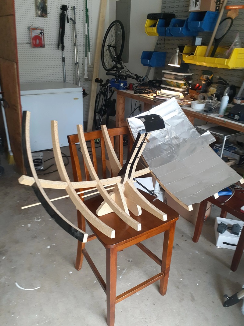
Discovery Dish Project Update: Dish Manufacturing Progressing Well! Kraken RF Inc. has released an update on their Discovery Dish Project The Discovery Dish project is moving forward, and they’ve just received the first finished manufacturing samples of the petalized version of the dish! These dishes look great and perform even better. The prototype dishes used … Delve Deeper “Kraken Discovery Dish Progress” »