Skip to content
USRADIOGUY

USRadioguy.com

Welcome to USRadioguy.com – Unlocking the Potential of Software Defined Radio

  • Home
    • Home of USRadioguy
    • Tried and Tested Hardware
    • USRadioguy Newsletter
    • What is RTL-SDR?
    • Global Weather Data
  • Satellite Reception
    • Geo Stationary Satellites
      • Geo-stationary Satellite Imagery Reception
      • GOESTOOLS on the PI
      • Update Goestools for GOES 18,19
      • Receiving GOES with SatDump CLI Mode
      • GOES receiving in Windows for SatDump GUI
      • Decoding EWS-G1/EWS-G2
      • GOES GRB Reception WIP
      • Optimizing a WIFI Grid Antenna for Maximum Efficiency
    • APT Satellites
      • APT RECEPTION
      • Satdump for Meteor and NOAA decoding
      • METEOR M2- Series
      • WxtoImg Fix
      • Converting to new TLE format
      • Layering Fire and Hotspot Data on Meteor Sat Imagery
      • HRPT Satellite Tracking and Capture
    • Receiving Other Satellites
      • Inmarsat Decoding
      • Receiving the Funcube Amateur Satellite
    • User Maps and Dish Pointers
      • Satellite Dish Pointer
      • User Global Ground Station Maps
      • Usermap rendered with Cesium
      • Global Map of Govt Dish Stations
    • Satellite Details & Information
      • ORBITAL DYNAMICS 101
      • HRIT/EMWIN & GRB Defined
      • Mesoscale Imagery Defined
      • Viterbi, R/S Errors, Packets
      • GOES BAND IMAGERY
      • Stray Light Zone (SLZ)
      • Drifting a geostationary satellite
      • GOES-R Series Multimedia Tour
      • Online Satellite Imagery and Information
      • Satellite Frequencies
      • Solar and Space Weather
  • Satellite Imagery
    • IMAGERY- Current GOES East & West HRIT Satellite Imagery
    • IMAGERY- GOES 16&18 – Past 96 Hours of Imagery
    • High Resolution Imagery
    • Daily 3D view of Earth
    • PlanetMaker
    • GOES16 A full year of received imagery
  • Imagery Processing
    • Custom Color Lookup Table & Gradients
    • GOES-R Custom Imagery Scripts
    • Global geo-ring composites
    • MODIS VIIRS Global Coverage
    • 3D Satellite Tracking
    • The quest for True Color Imagery
    • 3D animation of realtime data
    • Layering Geo-Spatial Fire Data into Satellite Imagery
    • Orbital dynamics and the Moon
    • National Hurricane Data
  • News, VLOGS & BLOGS
    • News & USRadioguy Blogs
    • USRadioguy VLOGS
  • Project Lab
    • Orbital Information and Visualizations
      • Enhanced Planet Earth
      • Satellites in Orbit
      • Solar System
      • Objects in Orbit
    • Current Station Weather
      • Current Groundstation Weather
      • Global Weather Data
      • Space Weather
    • WWII RADIO
      • WWII K-24 Aerial Camera
      • WWII RADIO
      • RADIO SET SCR-284
      • VS-3 VIBRATOR CONVERSION
      • VIBRATOR CONVERSION MODULE
      • BD-71 Field Switch Board and EE-8B Field Telephones
      • R-100/URR 1944 MORALE RADIO
      • A PORTABLE WWII ERA “MORALE RADIO”
      • AN/GRR-5 THE ANGRY 5
      • WWII Audio Page
    • Raspberry Pi Projects
      • ADS-B Reception
      • Allsky Camera
      • Pi Based Picture Frame
      • PI Based Broadcastify Server
      • Solar Power for PI
    • Your very Own Weather Satellite
    • Hubble Space Telescope Data Processing
    • Zombie Satellites
    • DRONES
  • About Me
    • About Usradioguy
      • SETEC Astronomy
    • Tried and Tested Hardware
    • Rare Captures
    • My Other Interests
    • Presentations
    • Merchandise
    • Privacy Policy
  • Home
  • Life
  • Who are Satellite Data and Imaging Enthusiasts?

Who are Satellite Data and Imaging Enthusiasts?

Posted on February 22, 2023July 10, 2024 By Carl
Interesting stuff you should know!, Life, News, Satellites, Science

Loading

We’re like kids in a candy store, except the candy store is a never-ending galaxy of pixels and the candy is data and images of the Earth from space. They can tell you the exact location of any given spot on the planet just by looking at a grainy satellite image. They see patterns and shapes whereas others see just clouds and mountains….not really, but we are a great group!


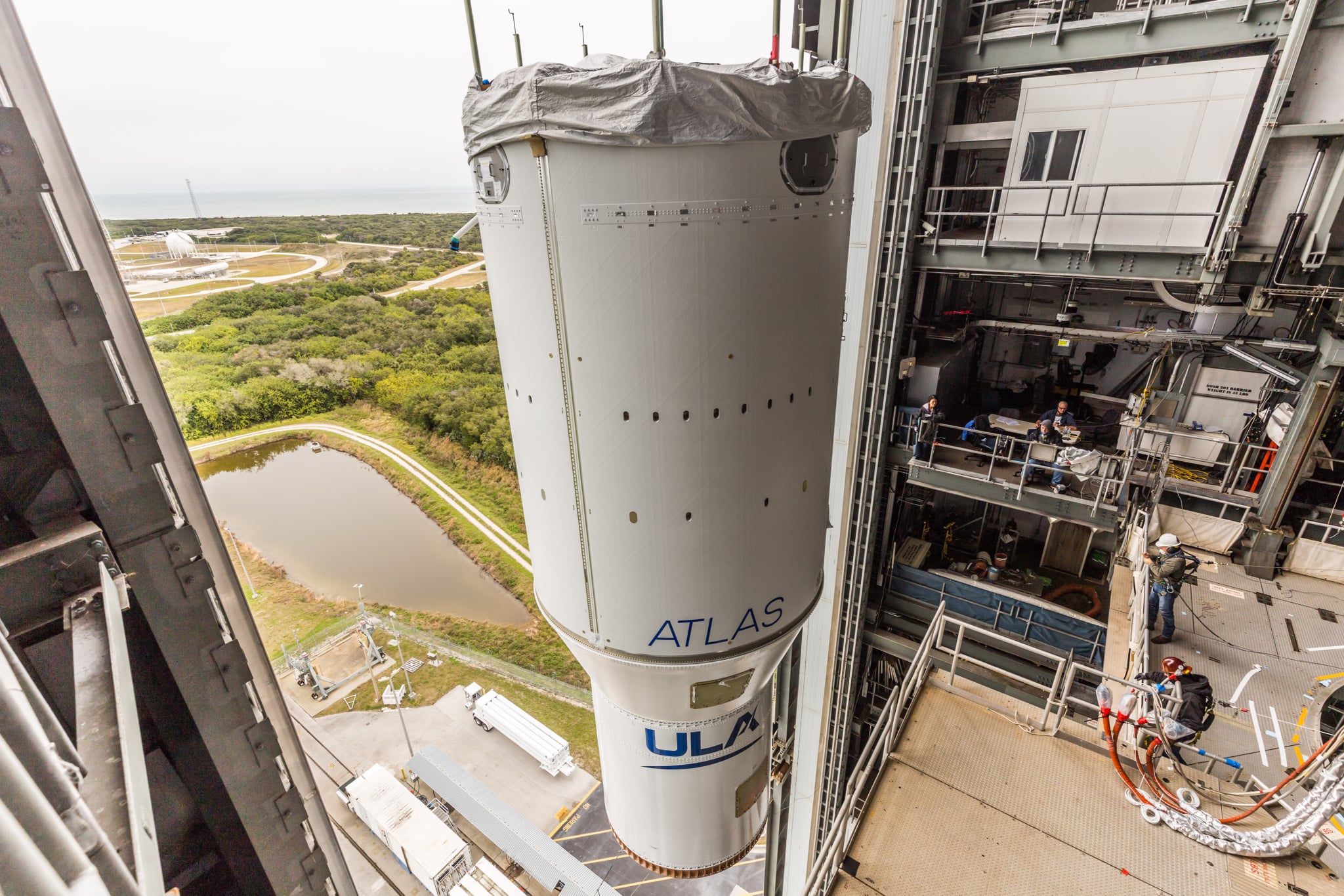
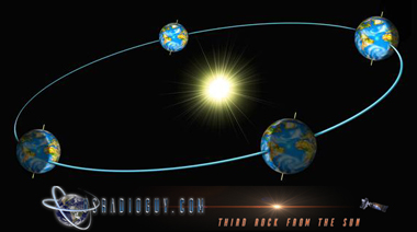
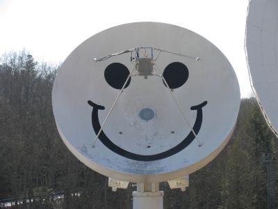
Satellite data and imaging enthusiasts are an international group of people who are passionate about receiving and analyzing satellite data and imagery. They are a niche group of people with an appreciation for the vast wealth of information available to them from satellites orbiting in the sky. They use a variety of antennas and data receivers, including Software Defined Radios (SDRs) and home-built antennas, and repurposed satellite dishes, to capture data and imagery from satellites in low Earth orbit and Geostationary orbit. Low Earth orbit (LEO) satellites typically orbit the Earth at an altitude of between 160 and 2000 kilometers, while geostationary orbit (GEO) satellites orbit at a distance of around 36,000 kilometers above the Earth’s surface.

With the increasing availability of open-source software and affordable SDR hardware, this hobby has become accessible to a wider audience, and many hobbyists are now able to receive images and data directly from satellites in low Earth orbit and Geostationary orbit.

Satellite data and imaging enthusiasts share their talents, ideas, open-source software, and designs with an international audience. They often come together online to discuss their latest projects and findings, and to share resources and advice. As coders and experimenters, they are involved in the development of new software and new technologies for gathering and analyzing satellite data, as well as in the development of applications that use satellite data to provide insight into the Earth and its environment.

One of the most popular applications for satellite data and imagery enthusiasts is weather monitoring. With the ability to receive data directly from weather satellites, enthusiasts can track the movement of storms, hurricanes, and other weather systems in real time. This information can be useful for a variety of applications, including weather monitoring, disaster response, agriculture, and aviation.

In addition to weather monitoring, satellite data and imagery enthusiasts can also use their skills and equipment for a variety of other applications, including earth observation, decoding the avionics system used for sending text messages between ground and airborne stations, environmental monitoring, and amateur radio communication. Enthusiasts also participate in satellite tracking and prediction, which involves predicting the trajectory of satellites and determining the optimal time and location for receiving data and imagery.

Using these tools, they process and decode satellite images and data to create maps, models, and simulations to help better understand the Earth, its climate, and its resources.   In many ways, they are similar to citizen scientists, who use their skills, access to technology, and commitment to science to make meaningful contributions to both the hobbyist and the scientific community.

For those interested in getting started with receiving and analyzing satellite data, there are a number of excellent resources available. Websites like usradioguy.com offer tutorials and advice on setting up and building antennas and receivers. There is a list of helpful and informative websites here.  Other helpful websites include NOAA and EUMETSAT, which share satellite imagery from their weather satellites with the public. Additionally, there are a number of online forums and discussion boards where enthusiasts can ask questions and share their experiences.

For those who are willing to invest the time and effort, receiving satellite data and imagery directly from satellites can be a rewarding hobby. Not only does it provide a great opportunity to learn about the latest technologies and build complex equipment, but it also allows enthusiasts to make a direct connection with satellites in the sky, and people with similar interests around the planet.  

With the right tools and knowledge, anyone can become one of these enthusiastic explorers, unlocking the secrets of the skies.  

So if you ever come across one of these enthusiasts, be sure to ask them to show you their favorite satellite images. They’ll be more than happy to oblige, and who knows, you might just catch the bug yourself and join their quirky, crazy, and endlessly fascinating world of satellite data and imagery!


If you like what I do please support me on Ko-fi, It really means a lot, every bit helps!

Please consider a donation to support this site!

Tags: Satellite Satellite Imagery

Post navigation

❮ Previous Post: USRadioguy VLOG
Next Post: The altered life of GOES-3 ❯

You may also like

Life
What will the neighbors think?
June 18, 2024
Hardware
SDR on Windows ARM64 Architecture
October 10, 2024
Imagery Processing
Cloud-Based Geo Sat Processing using Satdump
December 9, 2024
Hardware
Kraken Discovery Dish Progress
June 28, 2024

Please, Help Support USRadioguy.com

If you like what I do please support me on Ko-fi, It really means a lot, every bit helps!

Hardware Humor Imagery Processing Interesting stuff you should know! Launch News Life News Product Review Satellites Science Software Space Weather Uncategorized VLOG

Alphabetical Listing of all Pages on site:

  • 36-Hour Imagery Processing script
  • 3D animation of realtime data
  • A PORTABLE WWII ERA “MORALE RADIO”
  • About Me
  • ADS-B Reception
  • Allsky Camera
  • AN/GRR-5 THE ANGRY 5
  • BD-71 Field Switch Board and EE-8B Field Telephones
  • Current GOES 16 & 18 False Color Satellite Imagery
  • Custom Color Lookup Table
  • Custom Imagery Scripts for GOES
  • Daily 3D view of Earth
  • Daily Global Composites
  • Decoding EWS-G1 or GOES-13
  • Drifting a geostationary satellite
  • DRONE FUN
  • Even the kitchen sink
  • GEO-RING COMPOSITES
  • GEO-SAT PI FRAME
  • Geo-stationary Satellite Imagery Reception
  • Global Weather Data
  • GOES 19&18 – Last 96 Hours of Imagery
  • GOES BAND IMAGERY
  • GOES GRB Reception
  • GOES receiving in Windows for SatDump
  • GOES-18 Preparing for a new satellite
  • GOES-R Series Multimedia Tour
  • GOES-U (19) Countdown to Launch
  • GOES16 A full year of received imagery
  • Ground Station Map
  • High Resolution Imagery
  • Home
  • House History
  • HRIT/EMWIN & GRB
  • HRPT Satellite Tracking and Capture
  • Hubble Space Telescope Data Processing
  • Inmarsat Decoding
  • Layering Fire and Hotspot Data on Meteor Sat Imagery
  • Layering Geo-Spatial Fire Data into Satellite Imagery
  • Mesoscale Imagery Defined
  • METEOR M2- Series
  • MODIS VIIRS Global Coverage
  • My Other Interests
  • NASA, NOAA, Military, GOVT dish, and tower stations.
  • National Hurricane Data
  • Newsletter terms & conditions
  • NOAA & Meteor APT and LRPT RECEPTION
  • Online Satellite Imagery and Information
  • Optimizing a WIFI Grid Antenna for Maximum Efficiency
  • ORBITAL DYNAMICS 101
  • Orbitron, Gpredict, and PSTRotator with new TLE format
  • PI Based Broadcastify Server
  • Pi Based Picture Frame
  • Presentations
  • Privacy Policy
  • Programming the PI for goestools operation
  • R-100/URR 1944 MORALE RADIO
  • RADIO SET SCR-284
  • Rare Captures
  • Receiving GOES 18,19 with goestools
  • Receiving GOES HRIT with SATDUMP
  • Receiving the Funcube Amateur Satellite
  • Satdump for Meteor and NOAA decoding
  • Satellite Finder
  • Satellite Frequencies
  • Satellite Ground Stations
  • Satellite Tracking
  • Security
  • SETEC Astronomy
  • Solar Power for PI
  • South America GOES 16
  • Space Weather
  • Stray Light Zone (SLZ)
  • Thanks!
  • The quest for True Color Imagery
  • Tried and Tested Hardware
  • Usradioguy Blogs
  • Usradioguy Merchandise
  • USRadioguy Newsletter
  • USRadioguy VLOGS
  • USRADIOGUY Youtube Page
  • VIBRATOR CONVERSION MODULE
  • Viterbi, R/S Errors, Packets
  • VS-3 VIBRATOR CONVERSION
  • What is RTL-SDR?
  • WWII Audio Page
  • WWII K-24 Aerial Camera
  • WWII RADIO
  • WxtoImg Fix
  • Your very Own Weather Satellite
  • Zombie Satellites

Hardware Humor Imagery Processing Interesting stuff you should know! Launch News Life News Product Review Satellites Science Software Space Weather Uncategorized VLOG

Satellite And Weather Related Feeds

  • CIMSS Satellite Blog
  • USRadioguy.com
  • wildfires
  • NASA Earth Observatory
  • SPC Particularly Dangerous Situation (PDS) Tornado/Severe Thunderstorm Watch
  • satellites
  • Satellites News -- ScienceDaily
  • Satellite Liaison Blog
Post-Tropical Cyclone Kiko north of Hawai’i
A Foggy Morning for Lake Superior
Severe thunderstorms produce giant hail and isolated tornadoes in the Southern Plains
SatDump 2.0
SatDump 2.0
WXtoIMG: A Legacy in Weather Satellite Decoding
NOAA 15 and 19 Decommisioning
The fire cycle
New NOAA tool can predict potential wildfires on an hourly basis
Unmasking the complicated chemistry of wildfire smoke: What's in it?
Greenland Ice Sheet Gets a Refresh
Color Along the Anadyr
Monsoon Rains Flood Pakistan
SPC PDS Severe Thunderstorm Watch 399
Experts to preview launch of historic NOAA space weather satellite observatory
Five historically huge solar events
65 years since the world’s first weather satellite
This rare white dwarf looks normal, until Hubble shows its explosive secret
A weirdly shaped telescope could finally find Earth 2. 0
Butterfly nebula reveals sparkling gems, fiery dust, and the ingredients of life
Hurricane Erin: East Coast Impacts and Extratropical Transition
Hurricane Erin (2025) Rapid Intensification
August 2025 Milwaukee Flooding
  • Facebook Geo Stationary Satellites
  • Usradioguy Facebook
  • Instagram
  • Reddit
  • Github
  • Linkedin

Copyright © 2025 USRadioguy.com - All Rights Reserved. All material protected by Fair Use Section 107 of the Copyright Act. This site is Verified and Secured with 256 bit SSL encryption

Help Fund USRadioguy.com

USRadioguy Needs Your Help