![]()
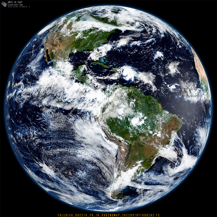
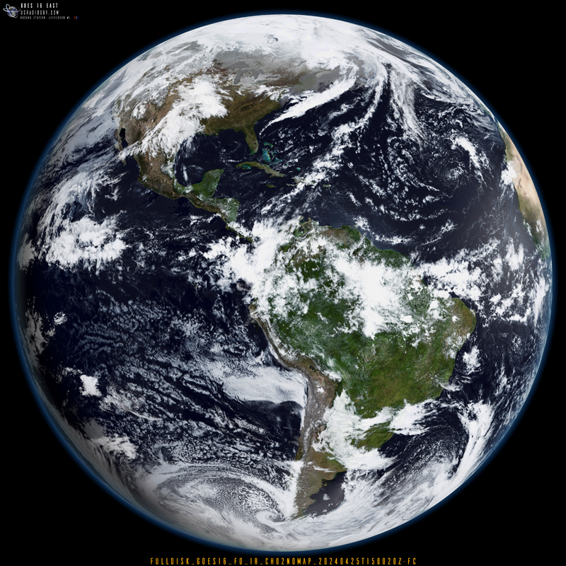
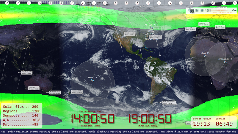
Spectral Imagery and False Colorization of Geostationary Satellite Data Updated June 9th 2024 Geostationary satellites like GOES, Himawari, Meteosat, FENGYUN, and Elektro primarily acquire imagery in various infrared (IR) bands along the electromagnetic spectrum. While some possess limited visible band capabilities (typically blue and red), these are often desaturated and not used for generating true-color … Delve Deeper “False Color Imagery” »

